7.7Mresidents
The population of the nine-county San Francisco Bay Area was approximately 7.66 million in 2025
4.1Mjobs
Bay Area employment as of 2024 was approximately 4.1 million jobs
9,100units
of new housing were issued permits in the Bay Area during 2024, according to data from the Construction Industry Research Board (CIRB)
- Transit Ridership
- Time Spent in Congestion
- Miles Traveled in Congestion
- Commute Time
- Commute Patterns
- Traffic Volumes at Gateways
247Mboardings
Total annual boardings across all transit operators in the Bay Area was over 247 million in 2022
69%
of Bay Area commuters drove to work on a typical workday (alone or in a carpool) in 2024
152Mmiles
were driven on Bay Area roads each day on average in 2024
$1.5trillion
The Bay Area’s economy generated almost $1.5 trillion in output in 2024
$137k
The median Bay Area household made $137,100 in 2024
$1.2M
In 2025, the typical value of a Bay Area home was nearly $1.2M
50Mtons
of greenhouse gas emissions were attributable to transportation and energy consumption by Bay Area residents in 2015
1,377acres
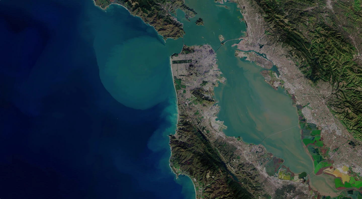
of San Francisco Bay were restored between 2019 and 2024
208k
As of 2024, 207,997 Bay Area residents lived in neighborhoods that would be at risk from just one foot of sea level rise
-3.6%
The share of Bay Area jobs that are middle-wage has declined by 3.6 percentage points from 22.5% in 2001 to 18.9% in 2024
18%
of the region’s population lived in households with incomes below 200% of the poverty line in 2024
49%
581,000 Bay Area renter households (49% of Bay Area renter households) spent at least 30% of their income on housing in 2024
About Vital Signs
Vital Signs is an interactive website by MTC-ABAG that offers data, visualizations, and contextualized narratives on important trends in the SF Bay Area related to land use, transportation, the environment, the economy, and equity. The San Francisco Bay Area has established an innovative monitoring initiative to track trends related to transportation, land and people, the economy, the environment and equity. Measurements in these areas are our region’s Vital Signs, helping us understand where we are succeeding and where we are falling short. Led by the Metropolitan Transportation Commission (MTC) and the Association of Bay Area Governments (ABAG), this effort relies upon extensive collaboration with the Bay Area Air Quality Management District and the San Francisco Bay Conservation and Development Commission.
Learn more about Vital SignsWe make it easy for people and organizations to download graphs and datasets so they can use our data in their work.
You can explore historical trends, examine differences between cities and counties, and compare the Bay Area with other areas.
We make it easy for people and organizations to download graphs and datasets so they can use our data in their work.
